
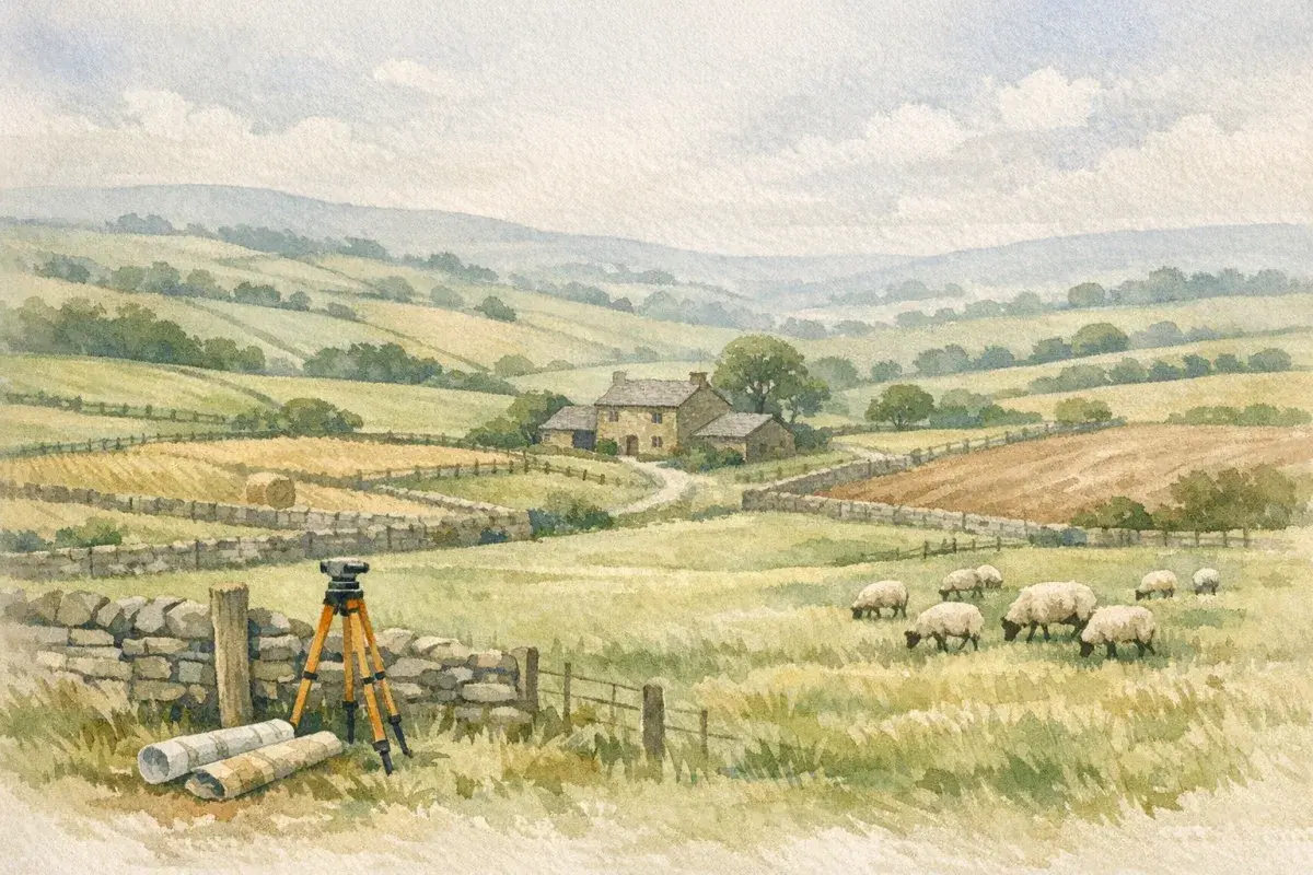
You can buy a house on a surveyor's report and a bit of local knowledge. Agricultural land doesn't work like that.
With rural land, a "survey" can mean anything from a straightforward acreage check to a full package of soil testing, drainage mapping, contamination screening, habitat constraints, and a hard look at whether the boundaries on the ground match the title plan in your solicitor's bundle.
This guide cuts through what agricultural land survey requirements look like in the UK in real life: what counts as a survey (and what doesn't), when it's effectively mandatory, which checks most buyers commission, and how to scope the work so you're not paying for paperwork you'll never use, or missing the one report that would've saved you a five‑figure mistake.
What Counts As An Agricultural Land Survey (And What It Doesn’t)
In UK rural property, "survey" is often used as a catch‑all. That's how people end up disappointed: you thought you were buying certainty: you bought a document that answers a different question.
At its simplest, an agricultural land survey is any structured inspection and measurement exercise designed to confirm facts about the land, extent, boundaries, access, constraints, condition, and translate those into practical risk.
What it isn't: a guarantee that the land will do what you want, or that planning will be granted, or that the title is clean. That's why good deals are stitched together from multiple checks, each with a defined scope.
Survey Vs Valuation Vs Environmental Reports
A survey usually focuses on physical reality: what's on the ground, what condition it's in, and whether it aligns with plans and assumptions.
A valuation answers a different question: what is this worth today (often for a lender, tax, accounting, or negotiation). Valuations may reference condition and constraints, but they aren't a substitute for detailed due diligence.
Environmental reports range from light‑touch desktop screening (e.g., flood risk, historic mapping, landfill proximity) to intrusive sampling (soils, groundwater, asbestos, hydrocarbons). They're particularly relevant where you're buying land with buildings, former farmyards, or any history of storage and handling.
If you're working through a purchase methodically, it helps to keep a clear checklist alongside your wider buying process, our step-by-step buying guide is useful for framing the survey work as part of the overall legal and practical due diligence (not a last-minute add-on).
When A Survey Is Effectively Mandatory (Sale, Letting, Lending, Planning)
There's no single UK law that says "thou shalt survey agricultural land." But in four common situations, a survey becomes effectively mandatory because someone with power over the deal (a lender, a planner, an insurer, or a prudent buyer/tenant) won't proceed without it.
Mortgage And Lender Due Diligence Expectations
If you're borrowing against agricultural land, the lender will have its own valuation and may ask for additional reports if risks are flagged: access issues, unclear boundaries, flood risk, unusual tenancies, or development assumptions.
Two points land buyers often miss:
- Lenders care about saleability. If the title plan doesn't match what's being farmed, or access depends on a private track with uncertain rights, that's a risk to them.
- "Agricultural" isn't automatically low risk. A small former yard with fuel tanks, an old dip site, or asbestos cement buildings can trigger extra conditions.
If your motivation is long-term capital security as much as farming utility, it's worth thinking like an investor from day one. The due diligence mindset in our agricultural land investment checklist lines up closely with what cautious lenders expect you to evidence.
Planning, Prior Notification, And Change-Of-Use Triggers
Surveys become unavoidable when your plan relies on the planning system or permitted development rights.
Common triggers include:
- New agricultural buildings or significant extensions (often needing prior approval/prior notification depending on the proposal and location).
- Change of use (e.g., from agriculture to equestrian, or agricultural to commercial storage), where access, traffic, ecology, and contamination risks suddenly matter a lot more.
- Engineering operations (tracks, hardstandings, drainage works) that can pull in designations, flood authorities, or highway considerations.
Planning is also where "desktop assumptions" get tested. If your site is within an AONB, near a SSSI, or intersects with priority habitats, the level of ecological and landscape evidence can move from "nice to have" to "you won't get this through without it."
The Core Surveys And Checks Most Buyers Commission
Most buyers don't need everything under the sun. But nearly everyone benefits from a core set of checks that confirm you're buying what you think you're buying, and that you can actually use it the way you intend.
Boundary, Acreage, And Title Plan Reconciliation
If you only do one practical check, make it this: reconcile what's being sold with what exists on the ground.
In the UK, Land Registry title plans are typically "general boundaries", under section 60 of the Land Registration Act 2002 they indicate the boundary's general position, not the exact line. That's fine until:
- a fence has drifted over decades,
- a hedge was moved to widen a track,
- a stream has meandered,
- the marketed acreage includes a verge, pond, or scrub you can't actually farm.
A measured survey (or at least a careful GPS/field-by-field check) helps you avoid paying for phantom acres, and helps your solicitor raise the right enquiries.
If you're unfamiliar with the paperwork side, it's worth reading up on how mapping, plans, and rights attach to the registered title in our practical land registration guide.
Access, Rights Of Way, Easements, And Wayleaves
Access is where rural deals most often wobble.
A surveyor can't replace your solicitor, but they can:
- verify the physical route you'll use with machinery,
- note pinch points (bridges, weight limits, gateways),
- confirm whether a track is adopted highway or private,
- identify obvious third-party usage (public footpaths, bridleways, permissive paths).
Wayleaves and easements matter too. Overhead lines, buried pipes, fibre routes, and water mains can restrict building locations and cultivation methods. A good survey brief includes checking visible infrastructure and cross-referencing it with title documents.
Drainage, Water, Flood Risk, And Irrigation Practicalities
In farming terms, water is either a gift or a hidden cost.
Your survey/checks should aim to answer:
- Is the land naturally free-draining or reliant on historic field drains?
- Where does water go in a storm, off the field, across it, or into it?
- Is there a water supply on site (mains/private), and is it reliable?
- If you're irrigating, what's the realistic source: abstraction, borehole, storage, or none?
A desktop flood screen is a start, but it can miss localised problems: a culvert that backs up, a ditch that's never maintained, or a low corner that's waterlogged every winter.
This is also where land type links directly to value and use. If you're weighing up cropping, grazing, or "future optionality," understanding grading and limitations is crucial, see our explainer on using agricultural land classification properly.
Soils, Contamination, And Environmental Constraints
A field can look perfect in July and disappoint you for a decade.
Soils and environmental constraints aren't just "scientific extras", they determine your outputs, your costs, and what you can realistically do with the land without falling into compliance issues.
Soil Type, Condition, And Sampling For Intended Use
Start with the intended use:
- Arable cropping: you'll care about texture, depth, compaction, organic matter, pH, and indices (P, K, Mg). You may also want infiltration rate and evidence of historic drainage.
- Grass and livestock: poaching risk, carrying capacity, sward quality, and water availability can matter more than a high-level ALC map.
- Horticulture/market garden: you'll want more detailed soil and water testing because inputs and margins are tighter and contamination risk can be more acute.
Sampling doesn't have to be complicated, but it must be purposeful. Agree who takes samples, where, when, and what labs/standards are used, and make sure the results are presented in a way you can act on.
Contamination Screening And Farmyard Legacy Risks
Agricultural land is not immune from contamination. Classic "farmyard legacy" risks include:
- old fuel tanks and filling points,
- chemical stores and pesticide mixing areas,
- sheep dip sites,
- burn pits and buried waste,
- rubble and made ground around buildings.
If the site includes a former yard, or if you're planning a more sensitive end use (e.g., residential conversion, holiday lets, equestrian facilities), you may need a phased approach: desktop screening first, then targeted intrusive sampling if red flags appear.
Designations And Habitats: SSSI, AONB, NVZ, Biodiversity Net Gain
Constraints can be deal-breakers, or just something you manage, depending on your plans.
Key UK considerations include:
- SSSI (Sites of Special Scientific Interest): higher scrutiny, and activities may need consent from the relevant statutory body.
- AONB / National Landscapes: not a ban on development, but the bar is higher and the design/justification must be stronger.
- NVZ (Nitrate Vulnerable Zone): affects nutrient management requirements and storage considerations.
- Biodiversity Net Gain (BNG) in England: relevant where your proposal triggers planning requirements: it can affect land value and negotiation if habitat creation is on the table.
This is one of those areas where "survey requirements" blend into strategy: if constraints limit intensive use, they might also open up alternative income routes (stewardship options, habitat creation, or leasing arrangements). The important part is that you spot the constraint early, before you price the land as if it's unconstrained.
Buildings, Infrastructure, And Compliance Surveys
If there are buildings, the survey brief should expand fast. A shabby shed isn't just cosmetic, it can carry asbestos exposure, unsafe electrics, or a compliance headache you inherit the day you complete.
Agricultural Buildings Condition, Asbestos, And Safety
Many UK agricultural buildings (especially mid‑20th century) use asbestos cement sheets. It's common, it's manageable, but you need clarity.
A sensible approach might include:
- a condition inspection to understand structure, cladding, foundations, and drainage around the building:
- an asbestos survey where appropriate (often required before refurbishment, demolition, or material disturbance):
- basic safety/compliance checks if you're taking on operational yards (gates, edges, pits, electrics, water).
If you're buying with a view to redevelopment or alternative use, these findings can materially affect both timescale and cost.
Utilities, Tracks, Fencing, And Yard Infrastructure
Infrastructure is where "cheap acres" quietly get expensive.
Ask your surveyor (and yourself) to quantify:
- utilities: location and capacity of electricity supply, water supply reliability, private drainage arrangements:
- tracks and access: surfacing, drainage, turning circles, suitability for HGVs or livestock movements:
- fencing and boundaries: condition, responsibility, and immediate CapEx needs:
- yard practicality: slurry/effluent arrangements, bunding, safe handling areas, and biosecurity pinch points.
If you're taking on a tenanted holding or buying with an operating farm business, align the physical survey with the realities of occupation and responsibilities. Our broader guide to agricultural land in England is a useful reference point for how these practicalities show up in real transactions and management decisions.
Who Can Carry Out The Survey And What Credentials Matter
The best surveyor is the one who has done your kind of land, in your kind of market, with your kind of risk profile, then puts it in writing.
RICS, CAAV, And Specialist Environmental Consultants
For rural property in the UK, you'll commonly come across:
- RICS surveyors (Royal Institution of Chartered Surveyors): often involved in valuation, boundary matters, rural inspections, and professional reporting standards.
- CAAV members (Central Association of Agricultural Valuers): frequently strong on farm business realities, rural valuations, tenancy matters, and practical land issues.
- Specialist environmental consultants: for contamination, ecology, habitats, flood risk assessments, and certain planning-support reports.
In practice, the "right" team is often a blend: a rural chartered surveyor coordinating, with specialists brought in where the site demands it.
If your purchase is in Scotland, be aware that the transaction framework and rural constraints can differ in meaningful ways (as can local market norms). It's worth grounding yourself first in the Scotland-specific landscape via our guide to buying and due diligence north of the border.
Insurance, Scope, And Clear Written Instructions
Credentials matter, but so does the boring paperwork.
Before you instruct anyone, confirm:
- Professional indemnity insurance (PI): adequate level, current, and relevant to the service.
- Scope and exclusions: what's included, what isn't, and what assumptions are being made.
- Deliverables: plans, photographs, sampling results, GIS layers, and a clear risk summary.
- Timing: when site access is needed and whether seasonal conditions will distort findings (e.g., drainage in a dry spell).
The single biggest upgrade you can make is to give written instructions that reflect your intended use. "Survey the land" is vague. "Confirm boundaries and access for 8m machinery, identify drainage limitations, flag contamination risks around the former yard, and note any constraints likely to affect a new building application" is actionable.
Costs, Timescales, And How To Scope A Survey That Matches Your Risk
Survey costs vary wildly because "agricultural land" varies wildly. A clean ring-fenced block of permanent pasture with no buildings is not the same proposition as a smallholding with a derelict yard, a stream boundary, and an ambitious plan for diversification.
Typical Price Ranges And What Drives Cost
As a rough UK guide:
- Basic measurement/plan checks and a practical walkover: often hundreds to low thousands, depending on size, travel, complexity, and deliverables.
- More detailed boundary work (including mapping outputs) and access/infrastructure reporting: typically moves into the low thousands.
- Environmental desktop reports: often hundreds: intrusive sampling can move quickly into the thousands+ depending on scope and lab work.
- Ecology/habitat surveys: highly variable and often seasonal (which can affect both cost and timing).
What drives cost most is not acreage, it's complexity: multiple titles, lots of boundaries, watercourses, buildings, unclear access rights, development intent, and environmental sensitivities.
Timescales: allow at least a few weeks from instruction to final report for straightforward work, and longer if you need specialist surveys or are constrained by seasonal survey windows.
How To Use Survey Findings In Negotiations And Contract Clauses
A survey is only valuable if you use it.
Common outcomes we see (and how you can respond):
- Acreage shortfall or boundary ambiguity → renegotiate price, seek a determined boundary agreement, or require specific title clarifications.
- Access constraints → negotiate easements, require evidence of rights, or walk away if your intended use depends on unreliable access.
- Drainage/flood issues → price in remedial works, reconsider cropping plans, or adjust your offer to reflect lower productive value.
- Contamination risk → commission targeted sampling before exchange, negotiate contractual protections, or exclude contaminated areas.
And don't underestimate the value of a well-timed "pause". If a key uncertainty can't be resolved, you're usually better losing a few weeks than owning a permanent problem.
When you register your requirements on AgLand, it is worth being explicit about intended use from the start - it shapes which properties you are matched with, and which surveys you will need. It often unlocks better information sooner (previous surveys, drainage maps, stewardship history), and it helps you scope the right survey package rather than defaulting to a generic template.
Conclusion
Agricultural land surveys in the UK aren't a box-ticking exercise, they're your reality check.
If you scope them around your intended use (cropping, grazing, diversification, development, long-term investment), you'll quickly separate manageable issues from deal-breakers. Start with the fundamentals, boundaries, access, water, and title alignment, then layer in soils, contamination, ecology, and buildings where the land's history or your plans justify it.
When in doubt, pay for clarity early. The best survey spend is the one that stops you buying the wrong land, not the one that produces the thickest report.
Disclaimer: AgLand.co.uk is a UK agricultural land and rural property matching service, where buyers register what they are looking for and owners advertise directly to the buyers who match, and a rural resource hub. Nothing in this text is intended as legal, financial, or investment advice. You should carry out your own due diligence and take advice from suitably qualified professionals (for example, solicitors, RICS/CAAV surveyors, accountants, and planning/environmental consultants) before acting on any information.