
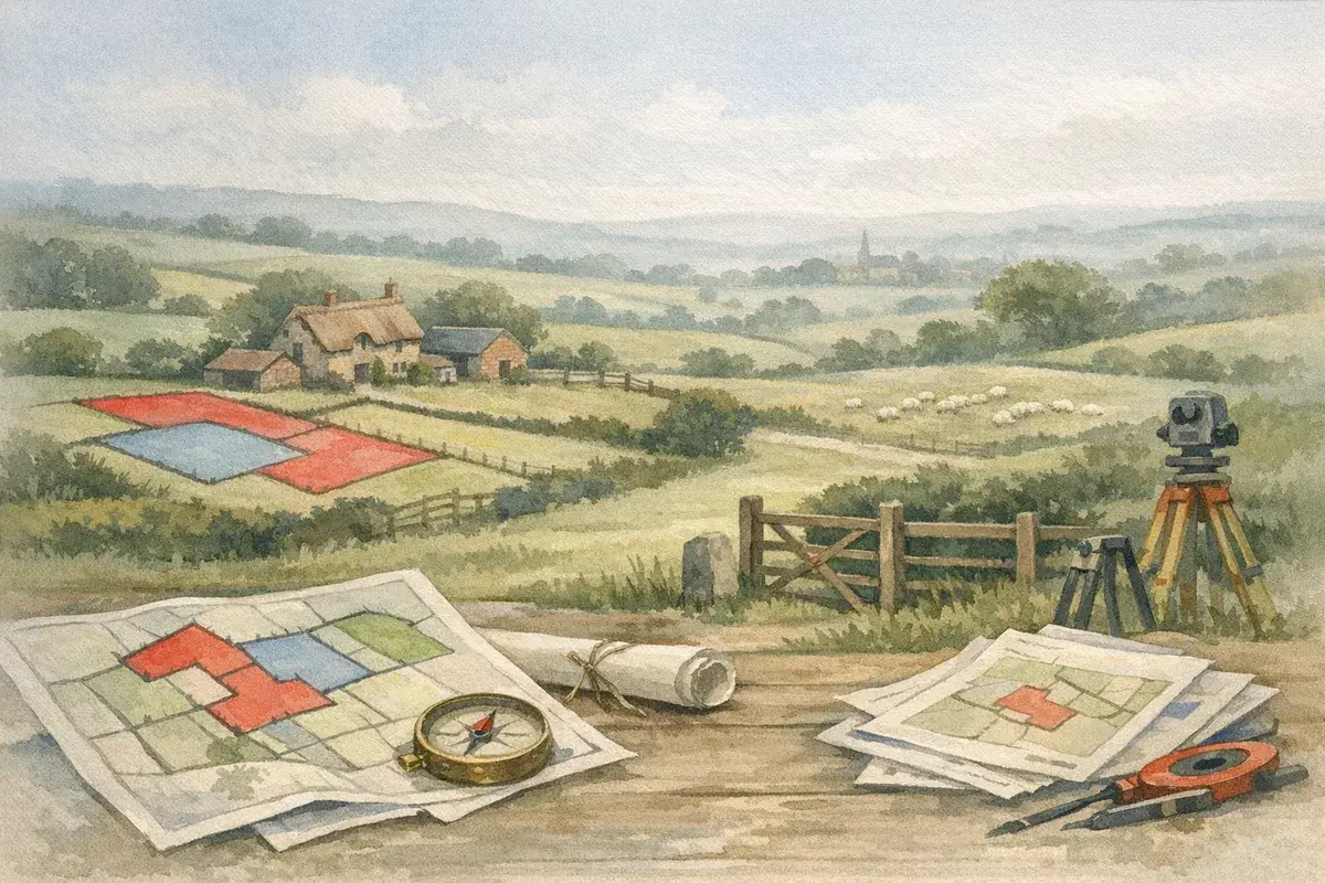
Land registry title plans show the general extent of registered land, and they matter far more than many buyers and sellers realise. If you're dealing with a farm, paddock, woodland parcel or rural development site, getting them right can prevent expensive boundary disputes and stalled deals.
The short answer is this: land registry title plans are not a precise ground survey, but they are the key starting point for proving what is registered and what is not. That distinction can decide whether a field strip, access track, or yard forecourt is included in the sale, and in rural areas those details can be worth serious money.
For farmers, landowners and agents, the practical question is usually not what a title plan is, but what it actually shows in the real world. A red line on a plan may look clear on screen, yet on the ground it can be affected by hedges, ditches, rivers, old estate boundaries, missing deeds and occupation patterns stretching back decades. We'd argue that this is where many rural transactions get messy, especially in counties with fragmented holdings such as Lincolnshire, Devon, Cumbria and parts of Northumberland.
In this guide, we explain how title plans work, how to read them, where they fall short, and what to check before relying on them in a sale, purchase, tenancy or refinancing. You'll also see the common rural pitfalls, the role of regulated plans and how recent market conditions make clean title more valuable than ever.
What Land Registry Title Plans Actually Show
A title plan is the Land Registry's visual record of the general boundaries of registered land. In simple terms, it is the map that usually accompanies the title register and identifies the land by a red edging, sometimes with other colouring or notation for rights and exclusions.
The important word is general. Title plans are not intended to pinpoint the exact legal boundary on the ground. Instead, they show the extent of the registered title against a base map, usually Ordnance Survey derived, at a standard scale. That means a hedge line, ditch, wall or fence may be close, but it's not automatically the legal line just because it looks that way on the plan.
General Boundaries Versus Exact Boundaries
Under the general boundaries rule, the red line indicates the area of registered title, but the precise position of the boundary may need interpretation using deeds, occupation, physical features and historic evidence. This matters a lot on farms, where a metre or two on the ground can become a practical issue if it cuts into a gate access, drainage run or farm track.
If there's a dispute, the plan alone rarely settles it. Solicitors, surveyors and land agents will often look at old conveyances, estate plans, aerial photography and even witness evidence from long-term occupiers. That's not paperwork for the sake of it. It can decide who owns the verge, the ditch or the corner of a dutch barn yard.
- Red edging: shows the land included in the registered title.
- General boundaries: indicate extent, not precise legal line.
- Scale: helps interpretation, but doesn't give surveying accuracy.
- Background map: usually Ordnance Survey based, so it can lag behind on-the-ground change.
Why Rural Land Is Different
Urban plots often have neat fences and clear development plots. Rural land is messier. Fields get amalgamated, hedges move, gateways are widened for machinery and tracks are upgraded for milking parlours, biomass kit or holiday lets. In counties like Somerset, Cheshire and Yorkshire, mixed-use portfolios can include grazing land, buildings, woodland and riparian strips that don't align neatly with modern mapping.
That's why title plans should be read alongside the title register, deeds and any surveyor's plan. If the plan appears to exclude a strip you thought was included, don't assume it's an error. It may reflect the historic deeds, a retained lane, or land that was never incorporated into the registered title in the first place.
How To Read A Title Plan In Practice
The first thing to check is whether the plan matches the land on the ground. Look for access points, buildings, yard surfaces, field boundaries, watercourses, roadside verges and any T marks or coloured annotations that may indicate rights or obligations. Then compare that with the title register, because the register often explains what the plan cannot.
In a rural sale or purchase, a title plan is best treated as a working document. It helps you orientate yourself, but it should never be the only thing you review. If a plan includes a farmhouse but appears to exclude the orchard, or shows the yard but not the adopted access verge, that can be commercially significant.
Common Features To Check
Small details often carry the biggest risk. A title plan might look tidy enough, yet a tiny kink in the boundary can affect a right of way, a drainage easement or a future building plot. In places with older farmsteads, such as Herefordshire, Shropshire and parts of the Welsh borders, historic occupation often creates subtle anomalies that only show up when a transaction starts.
- Red edge position: confirm what is inside and what is left out.
- Access routes: see whether the lane, track or bridleway is included.
- Buildings and yards: check roofs, hardstanding and service areas.
- Adjacent features: note hedges, ditches, streams and roadside margins.
- Notes in the register: these can explain rights, covenants or exclusions.
When A Plan Looks Right But Isn't
Sometimes the plan appears sensible, yet the underlying title is incomplete or inconsistent. For example, a sale may have transferred the main block of land but reserved a narrow access strip to a neighbour. Or a farm may have been split for tax or succession reasons, leaving shared drainage or grazing rights that don't appear obvious on the map.
That's especially common in estate holdings in counties like Norfolk and Suffolk, where long farm histories can produce layered ownership and occupation. Where the plan and the deeds seem to disagree, the exact boundary is usually worked out from the conveyance or transfer and its plan, and the answer often needs professional review.
Typical Problems With Land Registry Title Plans
The biggest mistake is assuming a title plan is definitive in every sense. It isn't. It is a reliable starting point, but rural land produces plenty of edge cases where the plan and reality diverge. That's why due diligence on agricultural property should always include some level of boundary and title checking.
Here are the issues we see most often in the countryside: missing strips, unregistered land at the margins, old farm access routes, overlapping occupation, and plans based on outdated mapping. Add in rivers, woodland edges and farmland subject to historic enclosure, and you've got a recipe for confusion if no one checks properly.
| Issue | Typical Rural Example | Why It Matters | As Of July 2026 |
|---|---|---|---|
| General boundary mismatch | Hedge line sits outside the red edging | May affect ownership and maintenance | Still a common transaction check |
| Historic retained land | Old access strip or verge left out of title | Can block machinery or vehicles | Often found during sales |
| Outdated base map | Recent field realignment not reflected | Plan may lag actual occupation | Especially relevant in dynamic estates |
| Unclear rights | Track used for decades but not clearly granted | Could affect access or value | Common in smaller holdings |
Boundary Disputes And Adverse Possession
Occasionally, occupied land may be claimed by adverse possession, a legal process under the Land Registration Act 2002 where someone may acquire title through long use and control, subject to strict rules. This tends to come up where fencing has shifted, a farmer has maintained a strip for years, or a neighbour has treated part of the land as their own.
In England and Wales, the position depends on whether the land is registered and when occupation began. It's not an automatic fix, and it's certainly not a shortcut. But it shows why title plans alone are not enough when boundaries have been treated loosely for years.
Rural Features That Complicate Plans
Watercourses, roadside banks, drainage ditches, fallen hedges and awkward field corners all complicate interpretation. In floodplain areas such as parts of Lincolnshire, Lancashire and Somerset Levels, the physical landscape can change enough to make older plans look odd even when the title is perfectly sound.
Old mineral workings, former railway routes and common land edges can also trip people up. If a title plan borders a river or lane, check whether the boundary follows the centre line, the bank, or a legal feature defined in historic deeds. That small distinction can matter a great deal.
Why Title Plans Matter In Rural Sales And Purchases
For buyers, title plans help establish what is actually being bought. For sellers, they help avoid nasty surprises during conveyancing. For agents, they reduce fall-through risk and support cleaner listings, especially where the farm includes multiple parcels, tenancies or retained rights.
In today's market, clean documentation is worth more than ever. As of July 2026, rural buyers remain selective, and uncertainty around title can slow decisions even when the land itself is attractive. That is particularly true for amenity buyers, natural capital investors and farmers looking to expand grazing or arable blocks.
What Buyers Should Ask For
A sensible buyer doesn't just look at the red line and move on. They ask whether the land being sold includes all buildings, yards, access, services, drainage runs and any land used in practice but not clearly mapped. If it doesn't, they should want the issue explained before exchange.
- Title register: confirms the written ownership and any restrictions.
- Title plan: shows the general extent of the registered land.
- Conveyances or transfers: may reveal historic rights and exclusions.
- Surveyor's plan: useful where the boundary needs practical checking.
Why Agents Should Get Ahead Of Problems
From an agency point of view, sorting out title issues early keeps a sale moving. If a plan clearly excludes a track or margin that marketing copy implied was included, the correction can be made before a buyer raises it. That saves time, protects credibility and avoids the awkward moment when everyone realises the land area is smaller than expected.
Whichever side you're on. Buyers tell AgLand what they're looking for and hear the moment something fits. Owners advertise straight to the buyers who already match, for one flat fee and no commission. Register as a buyer or check your matches.
Getting The Right Plan And When To Use A Surveyor
If you need to check a title, the first step is usually to obtain the title register and title plan for the relevant registered title. But where the land is complex, or where boundaries are in doubt, a more detailed plan prepared by a surveyor can be invaluable. This is particularly true for farms with irregular blocks, split holdings or redevelopment potential.
A professional boundary survey won't replace the legal title, but it can help compare occupation with documentary title and identify mismatches early. That matters in counties such as Kent, Warwickshire and Gloucestershire, where high-value rural land and diversification schemes can make even modest boundary errors expensive.
When To Fix The Exact Boundary
Where the exact line matters, you can apply to HM Land Registry for a determined boundary on form DB, backed by a surveyor's plan with precise measurements taken from fixed features. If you and your neighbour agree where the line runs, you can record a boundary agreement instead. Practice guide 40 sets out both routes. Either may be sensible where land is being split, where there is a dispute, or where a lender, solicitor or buyer wants more certainty than a title plan gives.
Not every deal needs one. But if a development site, equestrian yard, access strip or strategic corner is involved, the cost can be justified quickly. A small uncertainty now can become a big problem later, especially if the land is to be mortgaged, let or sold in parcels.
Practical Triggers For Extra Checking
There are common warning signs that suggest you should push for more scrutiny. A plan that seems to miss a building edge, a boundary running through a yard, or a neighbour using part of the land for years are all reasons to pause. And if the title was first registered long ago without a modern survey, the risk of inconsistency is higher.
In short, if the land is simple and the plan and deed history line up, a standard title plan may be enough. If the land is anything less than simple, don't treat the map as the last word.
Conclusion
Land registry title plans are essential, but they are only part of the story. They show the general extent of registered land, not a survey-grade boundary, which is why rural transactions need extra care where access, hedges, ditches or historic occupation blur the picture.
For farmers, landowners and agents, the lesson is straightforward: check the plan, read the register, review the deeds and question anything that doesn't fit the ground. In the countryside, small mapping issues can have outsized financial consequences, so a careful title review is never wasted effort.
Disclaimer: AgLand.co.uk is a UK agricultural land and rural property matching service, where buyers register what they are looking for and owners advertise directly to the buyers who match, and a rural resource hub. Nothing in this text is intended as legal, financial, or investment advice. You should carry out your own due diligence and seek guidance from appropriately qualified professionals (for example, solicitors, land agents, surveyors, and financial advisors) for your specific circumstances.