
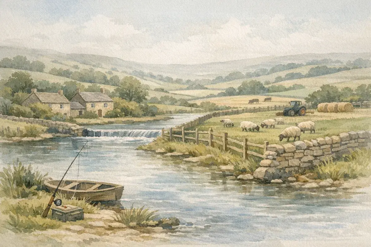
A river running through (or along the edge of) your holding can be an asset, free stock water, natural boundaries, a bit of biodiversity kudos, maybe even a premium when you sell. But it can also become the noisiest part of the farm. Walkers who assume "it's all public". Anglers who swear they've always fished there. A neighbour who wants to "just" clear a channel. And then the regulator letter lands because somebody's done works in the wrong place, at the wrong time.
River access rights farming is one of those topics where confident local folklore often collides with the actual legal position. The tricky part is that "the river" isn't one thing in UK law: ownership, access, consents, abstraction, fisheries, drainage and flood risk all sit in slightly different boxes, and the rules shift depending on whether you're in England, Wales or Scotland.
This guide cuts through the practical questions you'll face on real farms: who usually owns what, what the public can (and can't) do, what you can do without permission, and where you need formal consent before you touch a bank, install a crossing or pump water for irrigation.
Why River Access Rights Matter On Farms
Most "river access" disputes on farms aren't really about romance and wild swimming. They're about control: control of livestock, banks, biosecurity, fishing value, maintenance costs, and, crucially, liability when something goes wrong.
If you get the rights wrong, the consequences can be expensive and surprisingly fast-moving:
- Loss of use: you can be prevented from carrying out works you assumed were routine (or required to undo them).
- Flood and erosion risk: unapproved bank works or ill-placed fencing can accelerate erosion or back up flow.
- Neighbour disputes: one landowner's "ditch cleaning" is another's silt problem.
- Regulatory action: works to the channel or banks can trigger enforcement, especially on designated "main rivers" and near flood defences.
- Deal friction: river frontage can add value, but it can also complicate sales, finance and insurance.
The good news? With a clear map of what you own, what rights exist, and who to speak to before you act, most issues become manageable, and you'll spend less time arguing at gates.
Day-To-Day Farming Activities That Commonly Trigger Access Issues
On working farms, access rights and watercourse rules tend to flare up around very ordinary jobs:
- Moving stock along a bank or putting in temporary electric fencing close to the top of the bank.
- Creating or repairing livestock drinking points, hard standings, or limited-access "ramps".
- Installing culverts, bridges, or fords for machinery access.
- Clearing fallen trees, brash or silt (especially where the channel is shared with a neighbour).
- Bank protection works (stone, timber, geotextiles) after high flows.
- Letting third parties access the river, for fishing, canoe clubs, events, or biodiversity projects.
Each of these can overlap with separate legal questions: land ownership, riparian duties, public rights of way, environmental protections, fisheries rights, and water abstraction controls. Which is why it pays to treat "river access rights farming" as a bundle of linked issues, not one single rule.
The Main Types Of Watercourses And Who Usually Owns What
Before you can decide what access you can control, you need to know what you're dealing with. UK practice distinguishes between different water features, some natural, some engineered, and the ownership and consent regimes aren't identical.
Rivers, Streams, Ditches, Drains, And Canals: Key Differences For Landowners
On farmland, you'll commonly see:
- Natural rivers and streams: may be "main river" or an "ordinary watercourse" for regulation purposes (more on that below).
- Ditches and field drains (open): often man-made, frequently treated as ordinary watercourses: may also be part of a wider drainage district.
- Piped/covered drains and culverts: still raise consent issues if you alter them, even if you can't see open water.
- Canals and navigation channels: usually managed by a navigation authority: ownership and access rules are often quite different from a typical farm stream.
In practical terms, the words people use locally ("it's just a ditch", "it's a brook") don't always match how the regulators classify it. That classification affects which consents you need and who you speak to.
If drainage is a recurring pain point on your holding, especially where you're connected into maintained systems, it's worth reading our deeper explainer on farm drainage and what you're allowed to do.
Riparian Ownership, The Riverbed, And Boundaries On Title Plans
In much of the UK, if a river or stream forms a boundary, each adjoining owner often owns to the midline of the channel (the "centre line"), unless the deeds say otherwise, and owning a watercourse brings duties as well as rights. Where the watercourse runs through your land, you may own both banks and the bed.
But, here's the catch, title plans can be deceptive. Red edging on Land Registry title plans is general, not survey-grade, and a line shown along a river doesn't automatically tell you whether you own to the bank, to the centre, or beyond. Add historic diversions, erosion, and old estate maps, and you can see why rivers are a classic source of boundary arguments.
Also, ownership isn't the same as "absolute control". Even if you own the bed:
- public rights of way may cross your land near the river:
- fishing rights may be reserved or leased separately:
- you may have duties not to obstruct flow or cause flooding: and
- certain works still require consent.
If you want a fuller walk-through of how riparian position interacts with farm operations, see our guide to riparian rights in UK farming.
Public Access Along Rivers: Rights, Myths, And The Reality
If you're dealing with repeat "access" problems, it helps to separate what the public can do by right from what they might do because they assume it's allowed.
A lot of conflict comes from an honest misunderstanding: people see water and think of it like a public beach. Most inland waterways in the UK don't work like that.
Public Rights Of Way, Permissive Paths, And Access Land Near Water
On farmland, public access along rivers generally comes from:
- Public Rights of Way (PROW): footpaths, bridleways, restricted byways and byways open to all traffic, recorded on the definitive map in England and Wales.
- Permissive paths: routes you allow people to use (often with conditions), but which aren't permanent rights.
- Access land: in England and Wales, some mapped open access land exists under the Countryside and Rights of Way framework. Importantly, access rights are not a blanket permission to go anywhere by a river, and there are restrictions.
A key practical point: a public footpath beside a river is a corridor, not a licence to roam. If the path is two metres from the bank, the public right is to pass and repass along the path, not to spread out, picnic in the margin, climb fences, or enter fields off-route.
If you're not sure what rights exist, start with your local authority's PROW mapping, your title documents, and any tenancy terms. Then treat signage and maintenance as a risk management tool, not a confrontation.
England And Wales Versus Scotland: Why The Rules Feel So Different
This is where river access rights farming feels messy: Scotland operates a different access model to England and Wales.
- England and Wales: access is generally route-based (rights of way) plus specific categories of access land. Water itself is not automatically open for recreational navigation: rights can depend on historic rights, permissions, or agreements.
- Scotland: access rights are broader in principle (responsible access), including to some water, but still bounded by responsibilities and exclusions (for example around privacy, safety, crops, and certain working land contexts).
So if you farm near the border or manage multiple holdings, don't assume you can copy-paste your approach. The sensible play is to set your farm rules and signage around what's legally accurate in your nation, and keep a record of any permissions you grant (or withdraw).
What You Can Do As A Farmer Without Permission (And Where You Need Consent)
Most farmers aren't trying to "develop the river". You're trying to keep stock safe, stop banks collapsing, and move machines from A to B. But water is regulated tightly for a reason: small works can have big downstream impacts.
A helpful way to think about this is in two layers:
- Your private rights and duties as a riparian owner (where you own/occupy land next to the watercourse).
- Public regulation and consents related to flood risk, ecology, and navigation.
Routine Works: Fencing, Livestock Watering, Crossings, And Bank Protection
Some activities are commonly possible without formal permission in principle, but may still require consent depending on location and impact:
- Fencing set back from the bank: often straightforward, and frequently recommended to protect banks and water quality. Practical tip: set it back far enough to allow maintenance access and account for future erosion.
- Managed stock drinking: limited, hardened access points rather than open access along the whole bank can reduce poaching and pollution. But engineering a ramp or regrading a bank may trigger consents.
- Temporary crossings: low-impact measures may be acceptable for short-term use, but anything that constricts flow or disturbs the bed can cross into "regulated works".
- Minor bank repairs: replacing like-for-like can still be sensitive: using imported material, dumping stone, or altering bank profile is where you can get into trouble.
Don't underestimate how often "routine" becomes "regulated" because of timing (fish spawning seasons), protected sites, or because the watercourse is classed differently than you assumed.
When Consents Apply: Ordinary Watercourses, Main Rivers, And Flood Defences
In England, the consent route often depends on whether you're working on a main river (regulated via the Environment Agency) or an ordinary watercourse (often the Lead Local Flood Authority or Internal Drainage Board, depending on area). Wales has Natural Resources Wales.
Typical works that may require consent include:
- installing or altering a culvert, outfall, or weir:
- placing structures in or over the channel (including some bridges):
- dredging, resectioning or realigning the channel:
- works within the proximity of flood defences.
Because local arrangements vary, your safest workflow is:
- Identify whether it's a main river or ordinary watercourse.
- Check for designations (SSSI, SAC, SPA, etc.) and fishery constraints.
- Speak to the relevant authority before you book the digger.
- Keep a clear paper trail of advice and permissions.
If you want a broader view of water use and consents beyond "access", our overview on water rights on agricultural land is a useful companion read.
Water Abstraction, Impounding, And Irrigation: Rights And Licensing
Owning land beside a river doesn't automatically mean you can pump as much as you like. In the UK, abstraction is a regulated activity and the rules are increasingly shaped by water scarcity and environmental targets.
For river access rights farming, abstraction often becomes the "hidden" issue: you might have physical access to the bank, but not the legal permission to take water at the rate you need.
Abstraction Licences, Hands-Off Flow Conditions, And Metering
In England and Wales, significant abstraction typically requires a licence. The detail depends on source (surface water vs groundwater), volumes, location, and purpose.
A few concepts that catch people out:
- Hands-off flow (HOF) conditions: some licences require you to stop or reduce abstraction when river flows fall below a set level. That can coincide exactly with the time you most need irrigation.
- Abstraction points and infrastructure: moving a pump intake, changing pipework, or adding storage can change your regulatory position.
- Metering and records: you may be required to measure usage and report it. Poor records can become a headache during renewals or compliance checks.
And yes, cost matters. If you're budgeting an irrigation project or valuing a holding with an existing licence, factor in the charging side too. Our guide to water abstraction charges for farming explains the UK approach in plain English.
Small-Scale Uses, Emergency Pumping, And Drought Restrictions
There are circumstances where small-scale abstraction falls within exemptions or lighter-touch rules, but you should be cautious about relying on "it's only a bit" logic, especially in catchments under stress.
Also, remember that drought restrictions can override what you're used to operationally. In dry years you may see:
- temporary restrictions or tighter enforcement:
- pressure to reduce non-essential uses:
- conditions that affect filling on-farm storage.
If you're planning resilience, winter fill, storage lagoons, backup sources, build the compliance checks in early. It's much cheaper than retrofitting after an objection or refusal.
Managing Public Use, Safety, And Liability On Farm Rivers
Even when the public has no right to be on your banks, you can still end up dealing with the consequences of them being there. This section is about being practical, not paranoid.
Swimming, Paddling, Dogs, Fishing, And Anti-Social Behaviour: Practical Responses
Common scenarios farmers and land agents report include:
- wild swimming groups using a "nice bend" as a meet-up point:
- paddleboarders launching from a bridge where parking is easy:
- dogs off leads spooking stock or entering lambing fields via the river margin:
- informal fishing where someone assumes water = free fishing:
- fire pits, litter and late-night gatherings in summer.
Your response should match the risk and frequency:
- If there's a genuine misunderstanding (for example, people straying off a PROW), clear waymarking and polite signage can work.
- If parking is the trigger, physical barriers (gates, bunds, posts) on your land can reduce access without escalating into confrontation.
- If fishing is the issue, establish who holds the rights and consider a managed agreement rather than constant conflict, especially if it supports a farm diversification plan.
- If anti-social behaviour is persistent, treat it like any other rural crime: log incidents, involve the police where appropriate, and coordinate with neighbours.
Occupiers' Liability, Signage, Biosecurity, And Evidence Gathering
Liability is rarely black-and-white. But there are sensible steps that reduce your risk profile without turning your river into a fortress:
- Signage that informs, not inflames: "Private land", "Please keep to the public footpath", "No unauthorised fishing", "Beware deep water / strong currents". Keep it factual.
- Biosecurity prompts: where you have livestock health sensitivities (or invasive species concerns), you can use practical notices and physical separation (set-back fences, controlled drink points).
- Maintain known hazards: if you know of a collapsed bank by a footpath, address it or warn clearly. Doing nothing after you've identified a specific risk is where problems tend to compound.
- Evidence gathering: take photos, note dates/times, keep copies of any correspondence. If the situation escalates into a dispute, contemporaneous notes are gold.
If your river forms part of a larger water system (drainage board, flood scheme, shared maintenance), your responsibilities may overlap with others'. That's another reason to keep records and avoid "helpful" works that later look like unauthorised alterations.
Buying, Letting, Or Investing In Land With River Frontage
River frontage can be commercially attractive, irrigation potential, amenity value, sporting income, biodiversity net gain opportunities in some contexts. But it can also hide constraints that only appear after completion.
If you're buying, letting, or investing, treat the river like you'd treat a building: assume there are documents, third-party rights and ongoing obligations attached.
Due Diligence Checks: Title, Easements, Fishing Rights, And Third-Party Consents
Here's a due diligence checklist that reflects what tends to matter in practice:
- Title and boundaries: confirm whether the boundary is the near bank, far bank, centre line, or defined by a feature. Ask how boundary changes from erosion/accretion have been treated historically.
- Easements and reserved rights: look for rights to lay pipes, maintain outfalls, access for flood defence works, or historic rights retained by previous owners.
- Fishing and sporting rights: verify whether they're included, leased out, or reserved. A "quiet" river can become lively if the fishing is valuable.
- Public rights of way and permissive routes: confirm routes, widths, and any existing access arrangements.
- Existing abstraction or discharge permissions: if irrigation is part of the value, confirm the licence status, conditions, and transferability.
- Condition of banks and structures: crossings, culverts, outfalls, retaining works, are they lawful, documented, and in good repair?
We've built a more transaction-focused guide to help you structure this process when you're assessing a holding: see our checklist on water rights during a farmland purchase.
Disputes, Enforcement, And When To Bring In Specialists
Bring in specialist help early when:
- the river boundary is disputed or unclear on plans:
- there's evidence of unconsented works (historic culverts, bank reinforcement, channel resectioning):
- you need to renegotiate access, fishing, or maintenance responsibilities:
- you're planning capital works (new bridge, major bank protection, irrigation abstraction/storage) and want certainty.
The right team often includes an agricultural solicitor, a chartered surveyor with rural/boundary experience, and, depending on the job, a hydrologist, ecologist, or drainage consultant. If you're working through an agent, ask them to evidence prior consents and to flag anything "non-standard" early.
Whichever side you're on. Buyers tell AgLand what they're looking for and hear the moment something fits. Owners advertise straight to the buyers who already match, for one flat fee and no commission. Register as a buyer or check your matches.
Conclusion
A farm river can be a genuine strategic asset, if you treat it like one. The pattern we see time and again is that problems arise when ownership is assumed, access is taken for granted (by you or others), and "quick fixes" are carried out without checking consents.
If you take only three actions from this guide: (1) confirm what you own and what rights run with the land, (2) separate public rights of way from informal use, and (3) check the consent route before you touch the bank or the bed. You'll prevent most of the headaches that turn river frontage into a liability.
Disclaimer: AgLand.co.uk is a UK agricultural land and rural property matching service, where buyers register what they are looking for and owners advertise directly to the buyers who match, and a rural resource hub. Nothing in this text is intended as legal, financial, or investment advice. You should carry out your own due diligence and seek guidance from appropriately qualified professionals (for example, solicitors, surveyors, land agents, environmental consultants, or regulators) before taking action or relying on any information discussed.